Data Repository
BonaRes Repository for Soil and Agricultural Research Data
Click on image to start the introduction video.
Cenk Dönmez
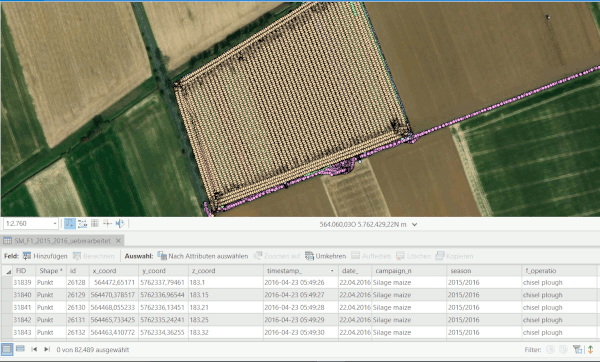
Click on image to view dataset

Click on image to visit online map
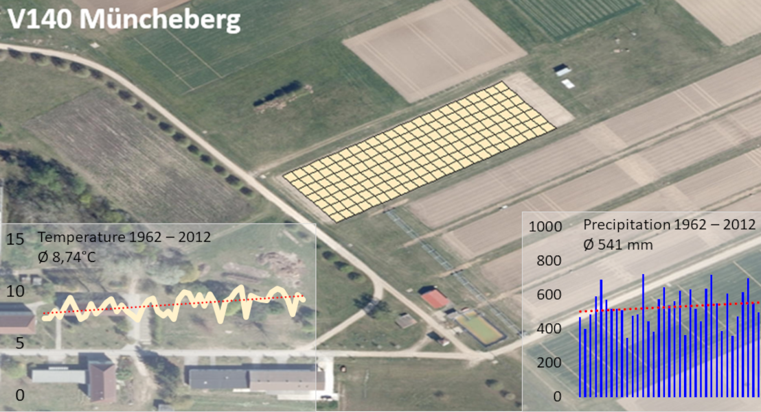
Click on image to view dataset.
Click on image to view dataset

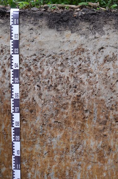
Click on image to explore the soil profile database map
Click on image to start the introduction video