Duration:
From Jul 1, 2015 until Feb 28, 2025
Target Groups:
soil research community,
wider research community,
biomass producers (farmers),
biomass processing sector,
policy makers,
administration and planners,
ngos,
civil society
About the Project:
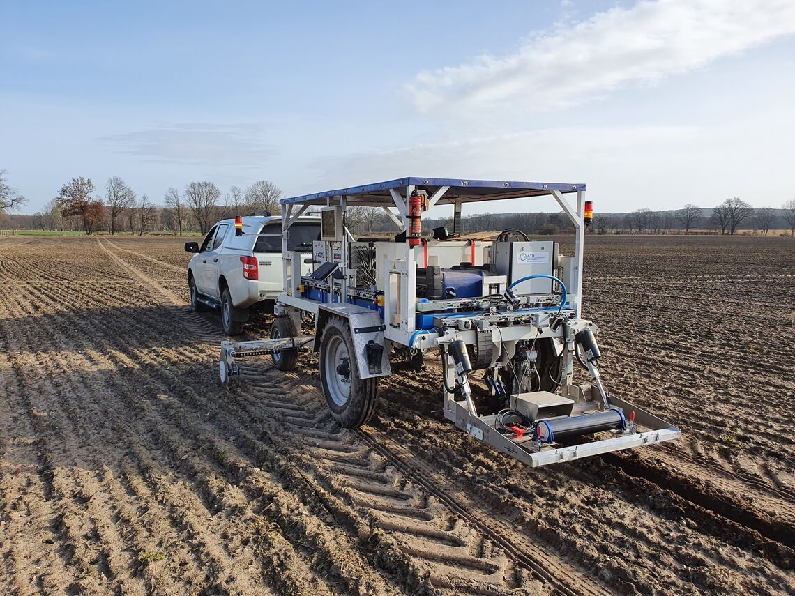
In the I4S project, researchers are developing a system for the site-specific management of soil fertility. It uses soil sensors, models and a user-friendly decision support system to use resources more efficiently, reduce environmental pollution and optimise agricultural productivity.
People and Partners
Project Leaders
Partner Organizations
Contacts
Publications
- Impact of potassium fertilisation on mobile proximal gamma-ray spectrometry: case study on a long-term field trial
- Predicting key soil properties from Vis-NIR spectra by applying dual-wavelength indices transformations and stacking machine learning approaches
- Shifted excitation Raman difference spectroscopy for soil component identification and soil carbonate determination in the presence of strong fluorescence interference
- Future area expansion outweighs increasing drought risk for soybean in Europe
- Mobile Laser-Induced Breakdown Spectroscopy for Future Application in Precision Agriculture—A Case Study